 Medical Center at Old Henry Rd. & Gene Snyder Freeway:
Photographs and Maps
On Thursday, March 28, 2013, I made a field trip to the Medical Center near the intersections of Old Henry Rd, and the Gene Snyder Freeway. Here are some photographs and maps from that excursion to supplement the discussion of March 30 in the KHPI Health Policy Blog.
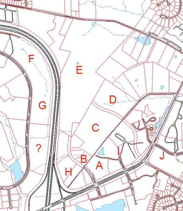
Below is a labeled overview of both existing Jewish and Baptist outpatient centers. It is apparent that the area is undergoing considerable development with land available for much more. Full resolution versions of the images are available on request.
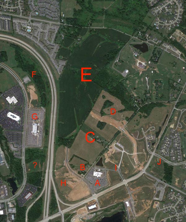
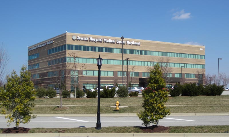
| A | Jewish Hospital Medical Center Northeast. |
| B | Premier Surgery Center of Louisville |
| C | Forty acres owned by Jewish Hospital- St. Mary’s Healthcare. |
| D | New residential construction. |
| E | St. Joseph Catholic Orphanage land. (Former considered VA location) |
| F & G | Baptist Eastpoint medical center. |
| H & I | Other land available for medical businesses. |
| J | Entrance to Lake Forest Development. |
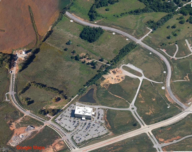
Below is a detail of the Jewish Hospital Medical Center Northeast. Old Henry Rd. runs across the bottom. In this Google aerial view, the Premier Surgery Center has not yet been built across Old Henry Trace on the site labeled 'B'. The 40 acres to the north-west of Old Henry Trace bounded by the new concrete roads (where are they going?) and the brown fields of the Catholic Orphans is currently owned by Jewish Hospital and St. Mary's Healthcare. The remains of two farms are still visible. The water tower construction at the far left is now completed. Massive residential construction is currently underway in the green space at the top center and right. There is plenty of room here for an entirely new hospital!
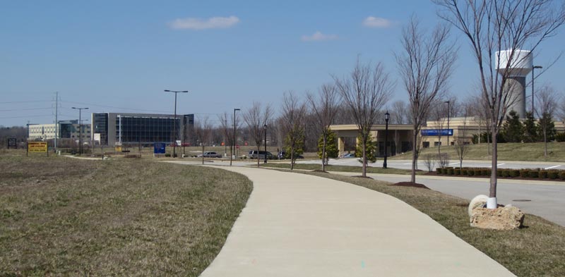
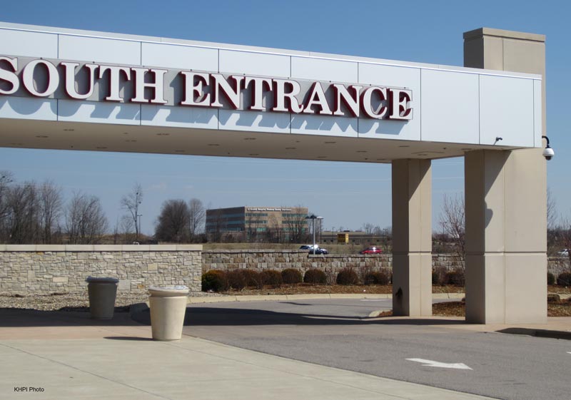
Here are views of the Jewish Hospital Medical Center Northeast and the Premier Surgery Center.
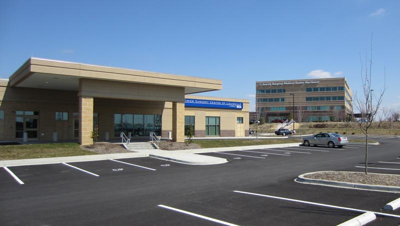
Old Henry Trace between the two existing buildings has been legally closed. The as-yet undeveloped Jewish & St. Mary's land sweeps away to the left behind the surgery center.
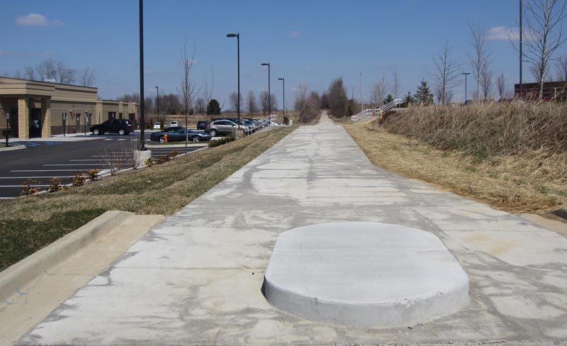
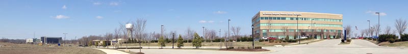
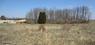
Below are two panoramic views of this "back lot" from two positions along Old Henry Trace, one further back than the other. The position of the water tower in both shots nearly marks one corner of the site and allows some orientation. Baptist Eastpoint medical center is visible in the mid-background of both views.
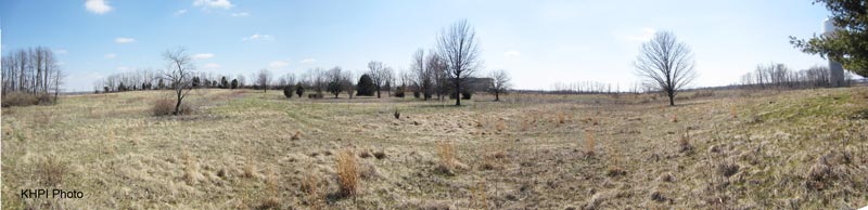
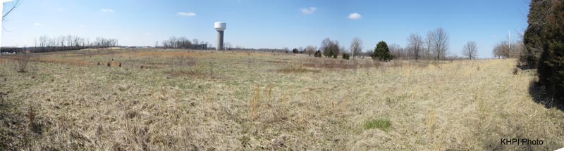
The patch of trees below can be seen in the aerial views of the far end of the 40 acres. Beyond it is the residential construction now underway at location 'D'.
Across the Freeway is the existing Baptist Eastpoint medical center. Baptist owns more land adjacent to the north. I do not know who controls the land to its south.
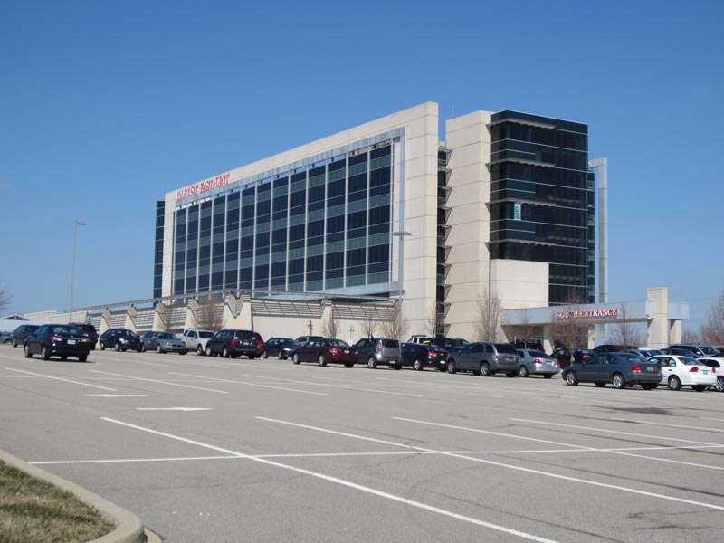
The two competitors will loom in each other faces across the highway for the foreseeable future!
If you have additional information you would like to share publicly, privately, or over a Martini, please contact me. As always, if there are any errors in what is said anywhere in these pages, please help me clarify the record.
Peter Hasselbacher, MD
President, KHPI
Emeritus Professor of Medicine, UofL
April 9, 2013